
Trimble Monitoring Software Expands Sensor Support to Deliver Broader Rail and Structural Deformation Analytics for Survey, Monitoring and Construction Professionals
Trimble 4D Control increases flexibility, ease of use and security
BERLIN, Germany – Trimble (NASDAQ: TRMB) announced today at the INTERGEO conference the latest release of Trimble® 4D (T4D) Control™ software, version 6.5, expanding rail track monitoring capabilities to address a wider range of standards and specifications. This update also adds support for Syscom Instruments acceleration sensors for event-based monitoring of ground motion, as well as updating authentication methods for improved security. These enhancements provide survey engineering firms, monitoring service providers and construction contractors with an even more comprehensive view of infrastructure risk for better informed decision making, and increased control and security.
Flexible and comprehensive features for track monitoring
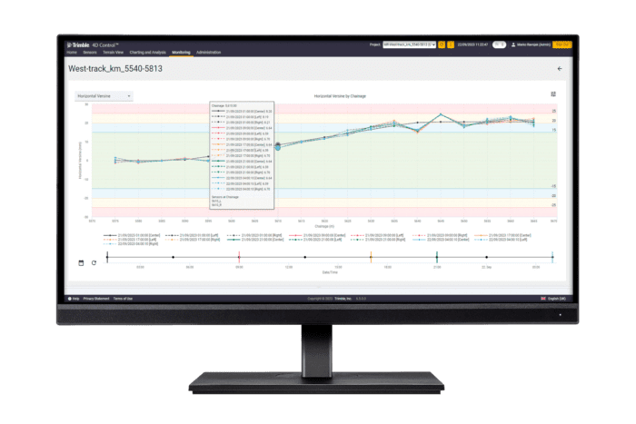
The T4D Rail module now provides the flexibility to use wireless tiltmeters or automated monitoring total stations (AMTS) to monitor track geometry. Additionally, the software allows for relative track monitoring where an as-built survey has not been performed. This streamlines the deployment of monitoring systems and provides automated analytics to meet the requirements of several countries.
The latest version of the T4D Rail module also simplifies data management, analytics and deliverables through the automatic calculation of key rail parameters to lessen in-office processing time and reduce errors from manual processes. Real-time, rail-specific visualization and analysis, and automated alarming of key track parameters deliver crucial information on track geometry and stability.
Event-based monitoring of ground-motion
Version 6.5 of T4D Control supports Syscom Instrument’s MR3003DMS and MR3003SB strong motion acceleration sensors, which measure movement from seismic activity. This enables the combination of vibration, geotechnical and geodetic sensors in one software platform to gain a greater picture of site conditions and structural behavior. The combination of the sensor data allows for more informed decision making about infrastructure, including dams, buildings and other structures, and adheres to regulations requiring acceleration sensors, while streamlining data analysis.
“The software has been built with professionals in mind, but easy enough to use regardless of your experience level,” said Riley Smith, marketing director, Trimble Monitoring and Tunneling. “By combining rail monitoring and structural health into T4D, monitoring, construction and survey companies can offer customers more value while reducing project costs and centralizing workflows.”
Overall IT Security Enhancements
The new version also increases software security by providing an option to authorize and authenticate T4D users from an active directory and database connection using secure Windows authentication. These features allow greater control over user access to the T4D system and better adherence to IT policies.
Availability
Trimble 4D Control version 6.5 is expected to be available in November 2023. To update to T4D version 6.5 or to add the Rail module, contact the Trimble Monitoring team here or a local Trimble Distributor.
About Trimble Geospatial
Trimble Geospatial provides solutions that facilitate high-quality, productive workflows and information exchange, driving value for a global and diverse customer base of surveyors, engineering and GIS service companies, governments, utilities and transportation authorities. Trimble’s innovative technologies include integrated sensors, field applications, real-time communications and office software for processing, modeling and data analytics. Using Trimble solutions, organizations can capture the most accurate spatial data and transform it into intelligence to deliver increased productivity and improved decision-making. Whether enabling more efficient use of natural resources or enhancing the performance and lifecycle of civil infrastructure, timely and reliable geospatial information is at the core of Trimble’s solutions to transform the way work is done. For more information, visit: geospatial.trimble.com.
About Trimble
Dedicated to the world’s tomorrow, Trimble is a technology company delivering solutions that enable our customers to work in new ways to measure, build, grow and move goods for a better quality of life. Core technologies in positioning, modeling, connectivity and data analytics connect the digital and physical worlds to improve productivity, quality, safety, transparency and sustainability. From purpose-built products and enterprise lifecycle solutions to industry cloud services, Trimble is transforming critical industries such as construction, geospatial, agriculture and transportation to power an interconnected world of work. For more information about Trimble (NASDAQ: TRMB), visit: www.trimble.com.
GTRMB
