
AEC Professionals Now Have Access to Esri’s Rich, Authoritative Geospatial Reference Data with Autodesk Product Suite REDLANDS, Calif.— Industry leaders in the architecture, engineering, and construction (AEC) sectors are increasingly relying…
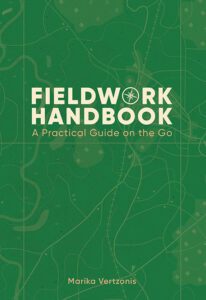
Esri Releases New Book Designed to Improve Efficiency of Mobile Work
GIS How-To Makes Work in the Field More Productive with Data, Workflows, and Exercises REDLANDS, Calif.—March 21, 2024—A biologist in a rainforest…
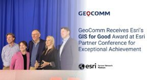
GeoComm Receives Esri’s GIS for Good Award at Esri Partner Conference for Exceptional Achievement
GeoComm received Esri's GIS for Good award at the 2024 Esri Partner Conference (EPC). This award was presented to GeoComm for compelling use of Esri technology…

Esri’s Dr. Dawn Wright Selected for 2024 US Science Envoys
Chief Scientist of Esri to Be Among First All-Female Cohort in State Department Program’s History REDLANDS, Calif.—March 13, 2024—Esri, the global leader in location intelligence, is proud to announce that the US Department of State has selected the…
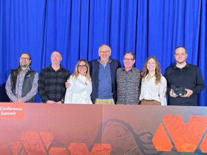
ROK Technologies, LLC receives Esri’s Collaboration Award for Exceptional Achievement at the 2024 Esri Partner Conference (EPC)
ROK Technologies received the Collaboration Award for successful customer win due to partner-to-partner collaboration at the 2024 Esri Partner Conference (EPC) held March 10–11, 2024. This award was announced at the EPC Plenary session…
Esri Releases New Landsat Satellite Data App to View and Analyze Land Changes
andsat Explorer Makes Longest-Running Continuous Satellite Imagery More Accessible for Decision-Makers REDLANDS, Calif.—February 13, 2024—Esri, the global leader in mapping and location intelligence, announces the launch of Landsat Explorer, a groundbreaking…
GIS Solutions: Digital Innovation: HNTB’s Reality Mapping Evolution
Download the Engineered Solution
Esri Advances ArcGIS Platform
Enhancements to Esri’s Platform as a Service Will Help Developers and Businesses More Efficiently and Securely Build Solutions REDLANDS, Calif.— In 2021, Esri, the global leader in location intelligence, released ArcGIS Platform, a geospatial platform…
GIS Solutions: 1898 & Co. Applies Cutting Edge Engineering to Digital Infrastructure
Download the Engineered Solution
