
USGS PFAS in Tap Water Interactive Map How-To Video
U.S. Geological Survey scientists created an interactive map to help the public better understand the likelihood PFAS is in local tap water. This tool allows you to view data from a USGS study on PFAS in tap water as well as known PFAS sources around the country.
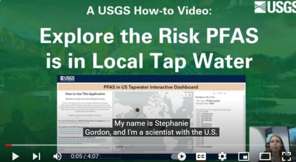
Head to our YouTube training channel to watch Stephanie Gordon, a USGS physical scientist, demonstrate how to use this new web tool to explore detected PFAS and PFAS sources near you.
Frequently called ‘forever chemicals,’ PFAS are used in a wide variety of common items, such as firefighting foams, non-stick cookware and fast-good boxes. Current EPA research suggests that exposure to PFAS may lead to adverse health risks. These chemicals are found in many places across the nation and can stay in the environment for a long time, making them a unique water-quality concern.
Full YouTube video: https://www.youtube.com/watch?v=fgQvLIEfZIk
Checkout the “PFAS in US Tapwater Interactive Dashboard” here: https://geonarrative.usgs.gov/pfasustapwater/
Contacts
Department of the Interior,
U.S. Geological Survey
Office of Communications and Publishing
12201 Sunrise Valley Drive
Reston, VA 20192
United States
Phone: 703-648-4460
