
With the unmanned devices, Stantec can process, view, and share rich 3D information to staff and clients in a web browser while using a secure cloud-based data solution.
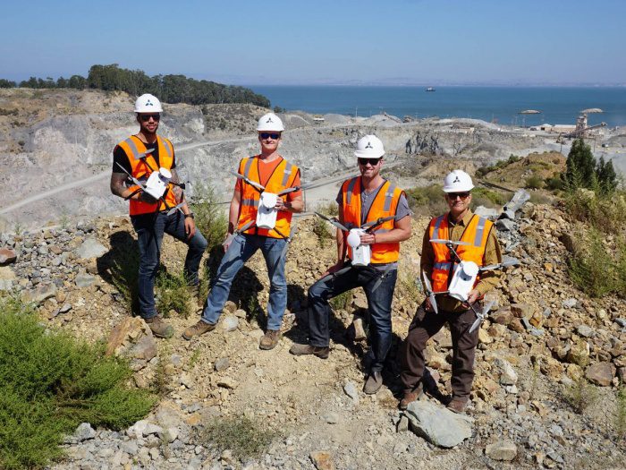
Stantec has commercially operated UAS across Canada since 2013. In addition to meeting safety and regulatory standards in Canada and the US, Stantec has developed an internal UAS training program and established a UAS Governance Committee to review practice and operational procedures. Stantec will have certified UAS operators in Canada and the U.S. (under the new Part 107 rules).
With the complete drone and data systems, Stantec can complete ground surveys up to five times faster than most current solutions, which require significant ground work before beginning mapping efforts. Compared with conventional topographic mapping methods, this time savings can possibly increase many times faster still. Data end-users will see benefits as well, including full-color point clouds that allow engineers to identify 3D objects more easily than with single-color LiDAR scans, and manual “cleanup” of the raw data is made unnecessary by advanced vegetation removal algorithms.
About Stantec
We’re active members of the communities we serve. That’s why at Stantec, we always design with community in mind.
The Stantec community unites approximately 22,000 employees working in over 400 locations across six continents. Our work—engineering, architecture, interior design, landscape architecture, surveying, environmental sciences, project management, and project economics, from initial project concept and planning through design, construction, and commissioning—begins at the intersection of community, creativity, and client relationships. With a long-term commitment to the people and places we serve, Stantec has the unique ability to connect to projects on a personal level and advance the quality of life in communities across the globe. Stantec trades on the TSX and the NYSE under the symbol STN.
For more information on Skycatch, visit www.skycatch.com or follow @Skycatch on Twitter.
