CivilGEO Releases GeoHECHMS Version 1.2
Madison, WI, August 03, 2022 - CivilGEO, a leading provider of civil engineering software, today released the latest version of GeoHECHMS, a stormwater modeling software that greatly speeds up the creation, analysis, and review of stormwater models. GeoHECHMS Version 1.2 greatly simplifies the creation of storage areas (i.e., lakes and ponds), computes critical storm thresholds and allows the user to import and export HydroCAD projects. This latest release provides key new features, updates, and bug fixes.
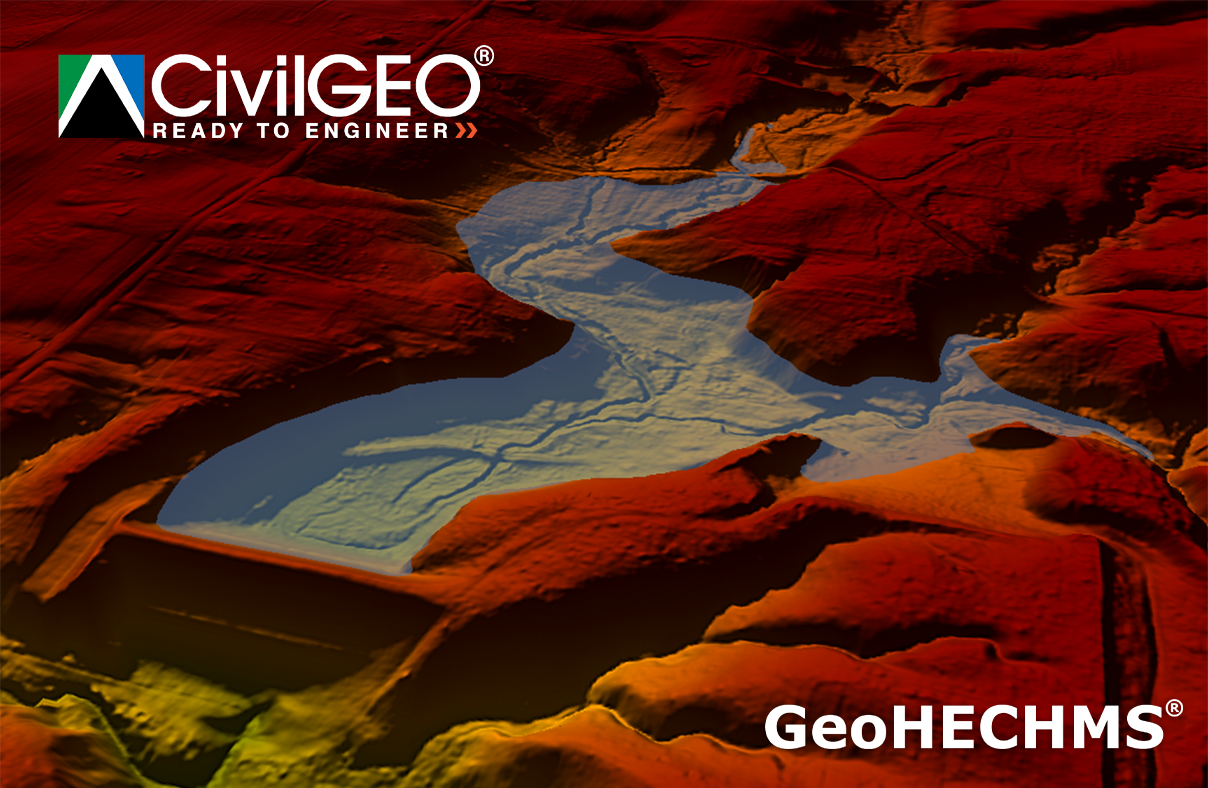
GeoHECHMS is an AutoCAD, MicroStation, and ESRI ArcGIS compatible interactive 2D/3D graphical user interface data wrapper to the US Army Corps of Engineers HEC-HMS stormwater software. It allows the user to quickly compare different scenarios and alternatives, juxtaposing pre-development conditions with a variety of post-development designs. The GeoHECHMS software can rapidly construct, design, analyze and compare detention and retention ponds.
“With the release of GeoHECHMS V 1.2, civil engineers can speed up their stormwater projects with automated workflows. GeoHECHMS offers users the freedom to work simultaneously on multiple HEC-HMS models, realizing new levels of efficiency and productivity.” said Chris Maeder, Engineering Director at CivilGEO.
CivilGEO develops advanced engineering and environmental modeling software for civil engineers worldwide. Consulting engineering organizations, public utilities, government agencies, and educational universities rely on CivilGEO software to engineer, design and build the world’s infrastructure.
CivilGEO is the maker of revolutionary 2D River Flood modeling software – GeoHECRAS, which rapidly constructs HEC-RAS models as it pulls data from a variety of sources. The software computes water surface profiles for steady and unsteady flow conditions, analyzes and designs bridge and culvert roadway crossings, generates floodplain and flood hazard maps, performs river and stream restorations and realignments, computes flood inundation maps for possible dam and levee failures, and much more. To learn more about GeoHECRAS, click here.
The GeoHECHMS Version 1.2 is now available for download.
About CivilGEO, Inc.:
CivilGEO, Inc. is a privately held company headquartered in Middleton, WI, with multiple offices in Canada, South America, Europe, and the Asia Pacific Region. It is a leading provider of civil engineering software designed to meet the requirements of discerning civil engineering consulting firms and government agencies worldwide. Visit us at civilgeo.com
Author

Parul Dubey
Video: Crashes Drop Measurably After Rural Road Safety Improvement Project on US 521 in Lancaster County

Redevelopment of Horseshoe Bay Terminal

June Issue 2026
.jpg?width=225)