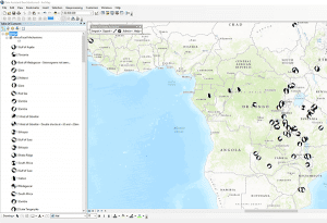
IGas is delivering faster time to insight and improving productivity across the enterprise using the ArcGIS platform. A lightweight integrated deployment in just 18 months has them well ahead of their project implementation plan – and delivering significant…

Exprodat Increases Oil & Gas Workflow Integration with Updated Data Assistant
Exprodat, the oil and gas ArcGIS platform specialist, Esri Gold Partner and Getech group company, has released the latest version of its popular Data…
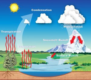
Esri Maps NOAA’s National Water ModelÂ
New Real-Time Maps Transform Forecast Data into Vivid Pictures of U.S. River Flows REDLANDS, Calif.—August 25, 2016—Smart-mapping leader Esri today…

Innovyze Releases InfoSWMM Generation V14.5
Broomfield, Colo., June 21, 2016 — In its ongoing quest to equip the wastewater industry with the world’s most comprehensive and innovative smart network modeling and management solutions, Innovyze, a leading global innovator of business analytics software…

CityEngine 2016 Release Integrates with ArcGIS Platform
Redlands, Calif., June 21, 2016—Esri, the global leader in geographic information system solutions today announced the release of CityEngine 2016. The revolutionary modeling technology allows GIS professionals, 3D artists, architects and urban planners…

Innovyze Ships InfoWater 2D: Next Generation of Two-Dimensional Modeling of Water Spill from Catastrophic Main Breaks
Broomfield, Colo., Jan. 5, 2016—Innovyze, a leading global innovator of business analytics software and technologies for smart wet infrastructure, today announced the worldwide availability of InfoWater 2D, a breakthrough geospatial water distribution network…

Esri Startup Antris Launches Lone-Worker Safety Solution
London, Ont., Sept. 14, 2015 – Antris, one of the first Canadian companies to join the Esri Startup Program, has launched AntrisPRO, a cloud application that helps organizations increase the safety of traveling, work-alone and at-risk employees. The application…
Esri and FlightAware Partner for Extensive Flight Tracking and Status Data Mapping Initiative
Redlands, Calif., August 17, 2015—Esri and FlightAware have partnered to combine the power of the world's leading flight tracking and status company with the world's leading ArcGIS mapping platform. The partnership features the ability to view and analyze…