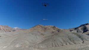
Reno, Nevada, USA; Riga, Latvia - Geophysics faculty and graduate students from the University of Nevada, Reno, announce new exploration for blind geothermal systems with Unmanned Aerial Vehicle (UAV) magnetometry. The study site is located in the Humboldt…

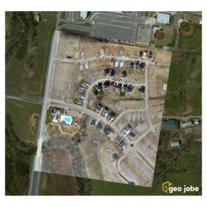
West Wilson Utility District Turns to GEO Jobe for UAV Data Capture & Orthophoto Updates
NASHVILLE, Tenn. - GEO Jobe, a leading GIS software and solution provider offering UAV mapping services, has been integrating UAV / UAS data capture into…

Wantman Completes Extensive UAV Project with SimActive
Montreal, Canada, May 9th, 2017 – SimActive Inc., a world-leading developer of photogrammetry software, is pleased to announce that Wantman Group, Inc.…

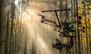
Vertical Images: From Film Making to Inspection, and Why the Future of Drones Doesn’t Lie in Flying
Successful drone entrepreneur Petr Lněnička went from award-winning filmmaker to drone inspection leader in his native Czech Republic. Here he lays out 3 pieces of advice and explains why for him, the transition seemed logical, and why he believes the future…

Infrastructure Outlook: What’s New in Reality Capture?
New reality-capture technologies are gaining ground as firms realize that the flexibility offered by new tools can improve designs, reduce clashes and eliminate expensive site rework. Construction companies now use reality capture to monitor building projects…

Infrastructure Innovation: Developing Creative AEC Solutions with Drones
Drones are one of the technologies most likely to really “take off” and have a significant impact on our industry. Whether referred to as unmanned aerial vehicles (UAVs), unmanned aircraft systems (UASs), remotely piloted aircraft, robots or drones, they’re…


