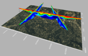
Import imagery, such as PNG files of geophysical profiles, and position the images in any orientation! Import any georeferenced images, such as an aerial image in GeoTIFF format, and it is placed directly in the correct location. GOLDEN, Colorado, 13…

Golden Software Unveils 3D Drillhole Visualization in Surfer® Surface Mapping Package
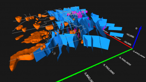
Display hole data using the new drillhole map type, manage the data in the Drillhole Manager, and view the data in true 3D. GOLDEN, Colorado,…

Golden Software Enhances Grapher Package with Faster Run Times and Improved Functionality Across Plot Types
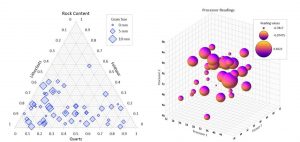
Add a legend showing proportional bubble sizes to your Ternary, 2D or 3D Bubble Plots Grapher Beta Also Available GOLDEN, Colorado – Golden Software,…

Golden Software Enhances 3D Functionality in Surfer® Surface Mapping Package
GOLDEN, Colorado – Golden Software, a developer of affordable 2D and 3D scientific modeling packages, has added new and enhanced 3D capabilities to the latest version of its Surfer gridding, contouring, and surface mapping software. New functionality available…


