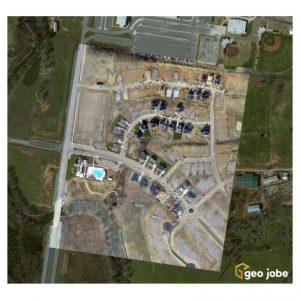
NASHVILLE, Tenn. - GEO Jobe, a leading GIS software and solution provider offering UAV mapping services, has been integrating UAV / UAS data capture into a number of projects enabling quick turn-around and cost savings for clients. What this means is that…

