
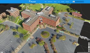
Skyward Mapping & Modeling, powered by Pix4D, enables customers to create, view, measure, and export 2D orthomosaic maps and 3D photogrammetric models right from Skyward’s web app PORTLAND, Ore. - Today, Skyward, A Verizon company, announced its…
How Drone Data Delivers Real Bottom Line Value for SMBs in Construction
Headquartered in Beaumont, California, Bogh Engineering is a 3rd generation family owned construction and engineering company with 65 employees. It focuses…
