
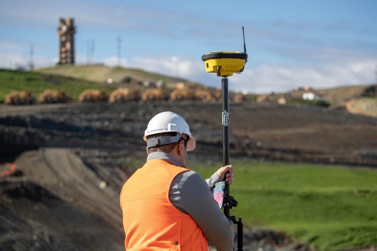
AGTEK’s SmartDirt RTK provide high accuracy cut/fill measurements on a phone or tablet
(Livermore, California, USA) – AGTEK Development Company, part of Hexagon, announced today the release of SmartDirt RTK, providing high accuracy cut/fill measurements on Apple or Android phones or tablets.
SmartDirt RTK turns Apple or Android phones or tablets into high accuracy GPS/GNSS receivers for on-site grade checking, drone/UAV ground control point (GCP) set out, and site data collection. SmartDirt RTK supports both Apple and Android devices when paired with a compatible RTK antenna.
SmartDirt RTK is the foreman’s best friend allowing users to know where they are in relation to plan sheets, cut/fill maps, satellite images and street maps, leveraging the power of mobile devices. The app can determine the volume of a stockpile, find the daylight line between cut and fill, and calculate balanced regions in the field to ensure dirt only moves once. SmartDirt RTK also records site details with RTK accuracy and uses the camera on mobile devices to record site progress.
Drone/UAV workflow support
The use of drones/UAVs for fast and accurate site validation and progress updates is revolutionizing data capture on site. SmartDirt RTK simplifies the entire workflow by providing a simple process to set-out GCPs and reference drone/UAV flights to site coordinates. SmartDirt allows users to view drone/UAV orthomosaic images in the field and measure against updated progress surfaces to accurately track how much work has been completed and how much work is left to finish the job.
High Accuracy Positioning
SmartDirt RTK transforms the GPS in mobile devices from accuracies of within several feet to accuracies within a tenth of a foot for survey-grade measurements. When the RTK antenna is connected to a reference network, there is no need for a base station as the position is calculated directly in state plane coordinates.
AGTEK Development Company – Dirt.Simple.Solutions.
AGTEK, part of Hexagon, provides Dirt Simple Solutions for the construction industry to accurately takeoff and estimate construction quantities, model efficient construction processes and measure progress throughout the construction life cycle.
Hexagon is a global leader in sensors, software and autonomous solutions. Hexagon (Nasdaq Stockholm: HEXA B) has approximately 21,000 employees in 50 countries and net sales of approximately 3.9bn EUR. Learn more at hexagon.com and follow us @HexagonAB
