
Virginia’s Newest Official State Transportation Map is Here
RICHMOND, Va. – Adventure awaits Virginians this fall as the newest official state transportation map is fresh off the press and available at welcome centers across the Commonwealth. Created by the Virginia Department of Transportation (VDOT), the map is Virginia’s official source for updated information about roads and travel. The latest edition showcases Virginia’s treasured natural wonders and can be your favorite unplugged tool to navigate to your next destination.
“Our state map continues to be a sought-after resource,” said VDOT Commissioner Stephen C. Brich. “We circulate hundreds of thousands of maps across the Commonwealth every year.”
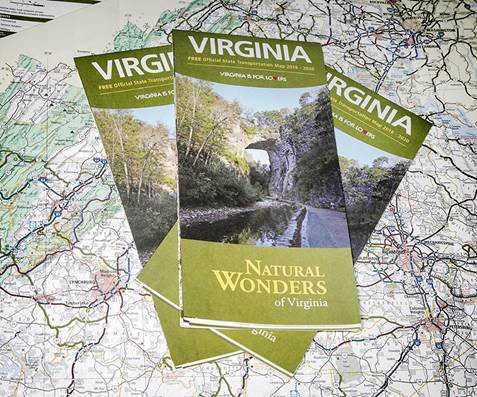
New for years 2018-2020, the map highlights Virginia Tourism’s fiftieth anniversary and features many of Virginia’s naturally-occurring landmarks. Several features include the Natural Bridge, known as one of the Seven Natural Wonders of the World and a National Historic Landmark, and Luray Caverns, which is called Geology’s Hall of Fame. Great Falls, the Great Dismal Swamp National Wildlife Refuge, Burkes Garden, Natural Tunnel and Breaks Interstate Park, known as the Grand Canyon of the South, are also included.
A map showing the state’s highway system is required by Virginia law; the first state transportation map was printed in 1922, before some roads had even been assigned numbers.
Today’s map features the latest travel routes to help you plan your next road trip. It can be found at Virginia’s welcome centers, and is available by request at rest areas and VDOT offices across the state. The map can also be ordered or printed from VDOT’s website.
