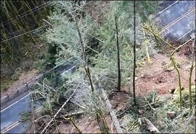
When part of a steep hillside gave way March 13 in southwestern Washington and emptied debris onto part of State Route 503 near Woodland, the Washington State Department of Transportation needed to assess slope conditions before trying to clear the road.
So engineers sent up an aerial drone, which delivered video (below) that helped showed how unstable the hillside might still be.
The next day, the department issued a press release saying: “Due to heavy rainfall, the slope continues to move and there is concern of additional rocks and debris falling.” It added that using a drone, “WSDOT geotechnical engineers inspected the hillside and are working to develop a permanent repair.”
Not that it would be quick, since engineers had to wait on weather and would need to determine if the project would require slope stabilization work to make the area safe as well as debris removal to just get the lanes open again.
On March 17 the department issued another update, warning area drivers to expect detours “throughout the spring,” as conditions remain too unstable to begin repairs.
“Drivers who travel to the areas near the north end of Lake Merwin and Yale Lake will need to add extra time in their trips throughout the spring,” it said. “With recent assessments of the hillside above State Route 503 near Speelyai Bay Road revealing additional movement near the cliff face, and the potential for large rock slabs to fall on to the highway, the [WSDOT] will keep the road closed for an indeterminate amount of time.”
The agency said that for the next few weeks it will monitor movements of the hillside and incorporate the additional data into a construction contract that will stabilize it and remove unstable rock and debris.
“We want to begin cleanup and repair work as soon as possible,” said WSDOT project engineer Lori Figone. “Once access is safe, we’ll have a clearer picture of the extent of the repair work and the timetable to get the job done.”
Here is the drone’s silent video footage that the department made available.


