
Download the Engineered Solution
Esri Space Act Agreement with NASA
More NASA-Published Earth Science Data Services Will Be Accessible in ArcGIS Living Atlas of the World REDLANDS, Calif.— The science community…
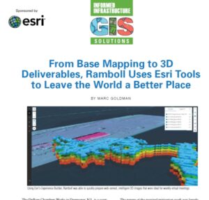
GIS Solutions: From Base Mapping to 3D Deliverables, Ramboll Uses Esri Tools to Leave the World a Better Place
Download the Engineered Solution
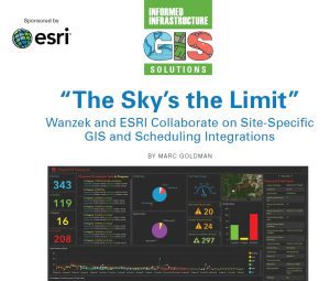
GIS Solutions: The Sky’s the Limit – Wanzek and ESRI Collaborate on a Cutting Edge, Site-Specific GIS and Scheduling Tool
Download the Engineered Solution
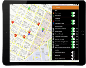
Locana Debuts Winter Release of Lemur, Providing Enhanced Mobile Access to Geospatial Information Systems
Latest Release Features Additional Esri, Salesforce, and iPhone Integration, Security and Support Greenwood Village, Colo. - Locana, an international leader in spatial technology previously known as Critigen, announced its winter 2021/2022 release…

Future Forward: GIS and Digital Twins are Crucial Building Blocks for Renewing U.S. Infrastructure
It’s no longer outside the realm of possibility to see through the ground itself. Augmented reality is bringing utilities and other companies with underground assets closer to realizing that age-old wish via a digital twin of their infrastructure. These…

Esri Releases ArcGIS GeoBIM, Bringing Spatial Context to AEC Operations
New Product Connects with Autodesk Construction Cloud to Bridge GIS and BIM REDLANDS, Calif.—October 5, 2021—Global construction challenges, from affordable housing availability to infrastructure stress as a result of climate change, have increased…
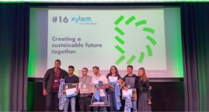
Hackers help communities combat effects of dangerous floods at Europe’s biggest hackathon
Team “Res-Queue” wins the Xylem Water Challenge award at HackZurich2021 with a decision support system that helps optimize rescue operations during floods RYE BROOK, N.Y.- Global water technology company, Xylem, today congratulated a team of hackathon…
