
Podcast with Brown and Caldwell's Resilience Experts Karri Ving and Dr. Tess Sprague
Todd Danielson, Informed Infrastructure’s editorial director, interviewed Karri Ving, Managing Principal in Functional Resilience, Fellow-Institutional Resilience, and Dr. Tess Sprague, Climate Resilience Lead at Brown and Caldwell. They discussed Brown and Caldwell's foundational thinking about environmental and climate-aware engineering as well as how it has codified those beliefs in its BC:LongView approach.

Podcast with Gavin Lewis, Head of Engineering, Fathom
Todd Danielson, Informed Infrastructure’s editorial director, interviewed Gavin Lewis, Head of Engineering at Fathom. They discussed Fathom’s Flood Risk Index and how it helps engineers create more-resilient infrastructure as well as how the model's "engineer created and focused" model differs from the traditional flood maps created primarily by hydrologists. They also discuss how inland areas have at least as much risk of flooding as coastal areas due to climate change.
Podcast with Josh Decker, Director of Planning and Design at McAdams
Todd Danielson, Informed Infrastructure’s editorial director, interviewed Josh Decker, Director of Planning and Design at McAdams. They discussed how technologies such as digital twins and AI are changing and improving the engineering profession. Decker describes specific examples and techniques engineers can and should use with these technologies and more for better planning and designs.

Podcast with Thai Nguyen, Hensel Phelps, and Chaitanya NK, Track3D
Todd Danielson, Informed Infrastructure’s editorial director, interviewed Thai Nguyen, Director of Innovation for Diverge, a Hensel Phelps company, and Chaitanya NK, Track's co-founder and CEO. They discussed how the two companies have been partnering, such as in the $300 million Courtyard 3 Connector at San Francisco International Airport.
Podcast with Christa Campbell, Director of Water Industry Solutions at Esri
Todd Danielson, Informed Infrastructure’s editorial director, interviewed Christa Campbell, Director of Water Industry Solutions at Esri. They discussed how water utilities that manage critical infrastructure spanning both horizontal and vertical assets are increasingly building GIS-powered living digital twins.
.jpeg?width=175)
Podcast with Abhinoor Dhull, VP of Operations at SewerAI
Todd Danielson, Informed Infrastructure’s editorial director, interviewed Abhinoor Dhull, VP of Operations at SewerAI. They discussed how SewerAI has transformed from an AI startup to a sewer system inspection and monitoring platform. She also gave advice to fellow engineers who may be looking into their own startups as well as those who want to pursue a career in civil engineering, particularly the subsets of water and sewer practices.

Podcast with Balsam Nehme, Director of Sustainability, Sidara
Todd Danielson, Informed Infrastructure’s editorial director, interviewed Balsam Nehme, Director of Sustainability, Sidara. They discussed her role in developing sustainability initiatives inside her organization as well as for the projects she works on worldwide. For her, sustainability is not "a box to check" and needs to be part of every engineering design and project.

Podcast with Pusker Regmi, Stantec Vice President and Wastewater Sector Leader
Todd Danielson, Informed Infrastructure’s editorial director, interviewed Pusker Regmi, Stantec Vice President and Wastewater Sector Leader. They discussed how he and Stantec are leading a new Water Research Foundation (WRF) project focused on applying artificial intelligence (AI) to wastewater treatment operations. The 31-month initiative is co-funded through WRF’s Tailored Collaboration Program, with the Washington Suburban Sanitary Commission (WSSC Water) in Maryland and Prince William Water...
Change Leader: Showcasing the Value of Digital Twins
This interview was recorded by Todd Danielson, the editorial director of Informed Infrastructure. You can watch the full interview by visiting iimag.link/eIxlw. Dan Isaacs is general manager and CTO of the Digital Twin Consortium, and chief strategy officer for Object Management Group. There Is a Definition When the term “digital twin” comes up in conversation, whether from technologists, engineers or programmers, a common complaint is that the term has so many possible meanings that it becomes...
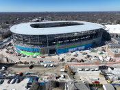
Northwestern Ryan Stadium Full Interview
Informed Infrastructure author Angus Stocking interviews EOR Thornton Tomasetti Structural Engineers Karen Grossett, S.E., principal, and Brad Toellner, P.E., senior associate, sports group, about the design features and processes for Northwestern's new Ryan Field, which aims to become one of the best stadium experiences anywhere in the country.
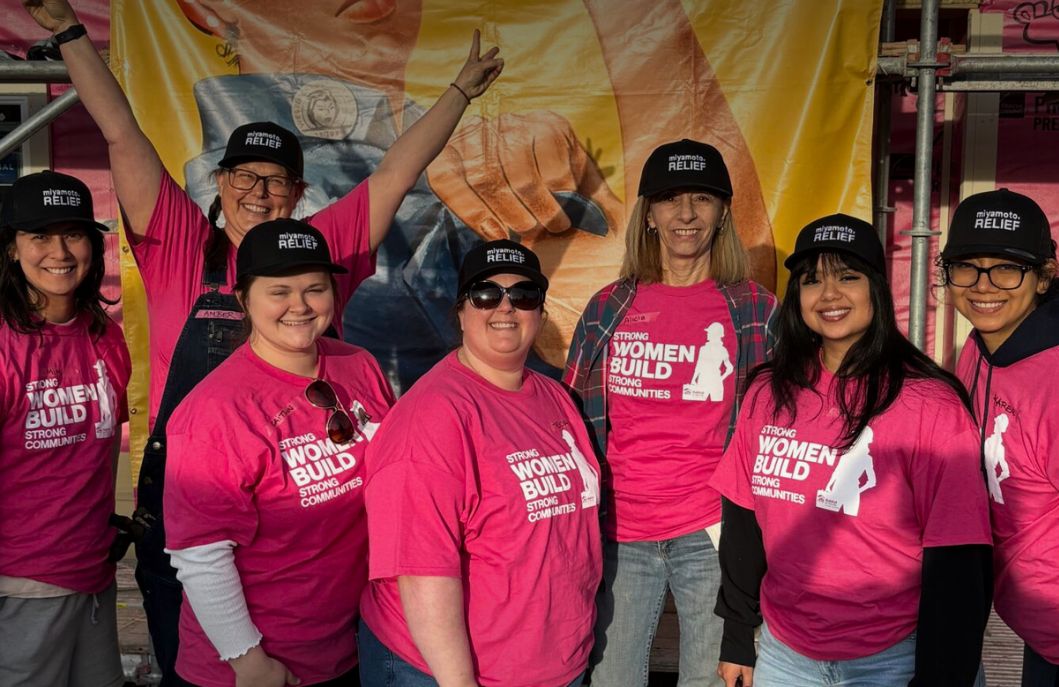
Video: Habitat for Humanity - Women Build Event in Sacramento
AdventHealth Weaverville Hospital

June Issue 2026
.jpg?width=225)