
Geodesign Summit Europe Comes Into Focus
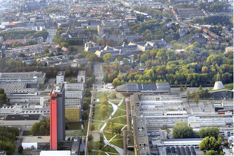
What better place to be in September than the historic city of Delft, the Netherlands? Famous for its canals and blue pottery, Delft is also a place steeped in the study of technology and engineering, as it is home to universities that specialize in those fields. One of the city’s most famous residents was Antonie van Leeuwenhoek, the lens maker whose improvements to the microscope revolutionized the instrument and allowed him to be the first to observe and then describe single-celled organisms.
What better place, then, to hold the second annual Geodesign Summit Europe. It’s an event that brings together an international group of archaeologists, historians, designers, planners, policy makers, geospatial scientists, information technologists, and even artists, seeking to make some discoveries of their own.
A place of learning since 1842, Delft University of Technology (TU Delft) will cohost this year’s summit with VU University of Amsterdam, Geodan, and Esri.
What Is Geodesign?
Geodesign is an iterative planning and design method. It combines input from stakeholders with geospatial modeling, impact simulations, and real-time feedback to help them create holistic designs and make smarter decisions.
This year’s gathering will focus on several major themes that include using geodesign to create a safer world in the light of extreme weather and chronic stressors; build smarter, more adaptive, and sustainable communities; preserve what makes places special and unique; and finally, actively improve the quality of life for people while protecting the environment.
The presummit events on September 10 will include workshops on Esri CityEngine, disaster planning, and geodesign.
Geodesign Summit Europe will be held in the TU Delft Department of Architecture building.
The keynote speaker will be Peter Head, founder of The Ecological Sequestration Trust and one of Time magazine’s 30 global eco-heroes. He will speak about his groundbreaking work to integrate social, ecological, and economic systems into one global model to create what he calls a “collaborative consciousness” that will help inform local decisions to create a sustainable planet.
The lineup of speakers is still growing but also includes
- Max Craglia, senior researcher at the Digital Earth and Reference Data Unit, European Commission, Joint Research Centre. He is responsible for the development of the Infrastructure for Spatial Information in Europe (INSPIRE) Directive, aimed at creating a spatial data infrastructure for Europe that can be used to assess the impact of the European Union’s environmental policies.
- Abbas Rajabifard, head of the Department of Infrastructure Engineering and director of the Centre for Disaster Management and Public Safety at the University of Melbourne in Australia. His research tackles the next generation of disaster management, focusing on urbanization and the design of future cities in response to extreme weather.
- Carl Steinitz, professor emeritus at Harvard University’s Graduate School of Design. He wrote A Framework for Geodesign: Changing Geography by Design, which presents the main concepts, history, and methodology of geodesign.
- Henk Scholten, founder and chief executive officer of Geodan, a multidisciplinary team of experts providing GIS software and services. He also is a professor of spatial informatics and director of the SPINlab, VU Amsterdam.
Participants will also present papers. Selected papers will be published in the Research in Urbanism Series (RiUS) of the Department of Architecture of TU Delft. RiUS is a refereed, indexed, and open-access publication. This specific issue of RiUS will be edited by Steffen Nijhuis, Franklin van der Hoeven, Stefan van der Spek, and Sisi Zlatanova and augmented by a scientific committee.
